Présentation de Wangenbourg-Engenthal
Le village de Wangenbourg-Engenthal
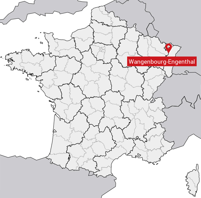
est situé dans le département
du Bas-Rhin
(67),
en région
Grand Est, anciennement en Alsace.
Il
appartient au canton de Saverne, et fait parti de la Communauté de communes de la Mossig et du Vignoble.
Wangenbourg-Engenthal est une commune rurale hors agglomération. Il compte environ 1 337 habitants pour une superficie de 31.49 km². Son altitude varie entre 284 m et 964 m.
La commune s’inscrit dans un territoire rural à habitat dispersé, caractérisé par des habitations espacées. Sa densité de population est de 42.0 hab./km².
Code postal de Wangenbourg-Engenthal : 67710
Évolution démographique
Localisation de Wangenbourg-Engenthal en France
Département et région : (67) Bas-Rhin, Alsace (Grand Est)
Carte de Wangenbourg-Engenthal
Coordonnées GPS de Wangenbourg-Engenthal : Latitude 48.621° N · Longitude 7.305° E
Informations sur Wangenbourg-Engenthal
Code INSEE : 67122 SOUNDEX : W52516252534 METAPHONE : WNJNBRKNJN0L
Communes aux alentours de Wangenbourg-Engenthal
Avis des habitants (0)
Aucun avis. Soyez le premier à laisser votre avis sur Wangenbourg-Engenthal.