Présentation de Sauvagnat-Sainte-Marthe
Le village de Sauvagnat-Sainte-Marthe
est situé dans le département
du Puy-de-Dôme
(63),
en région
Auvergne-Rhône-Alpes, anciennement en Auvergne.
Il
appartient au canton de Vic-le-Comte, et fait parti de la Communauté d'agglomération Agglo Pays d'Issoire.
Sauvagnat-Sainte-Marthe est une commune rurale hors agglomération. Il compte environ 468 habitants pour une superficie de 6.44 km². Son altitude varie entre 349 m et 605 m.
Il s’agit d’un bourg rural, offrant un cadre de vie calme au coeur d’un environnement de campagne. Sa densité de population est de 73.0 hab./km².
Le prix moyen de l'immobilier à Sauvagnat-Sainte-Marthe est de 1133 €/m2.
Code postal de Sauvagnat-Sainte-Marthe : 63500
Évolution démographique
Localisation de Sauvagnat-Sainte-Marthe en France
Département et région : (63) Puy-de-Dôme, Auvergne (Auvergne-Rhône-Alpes)
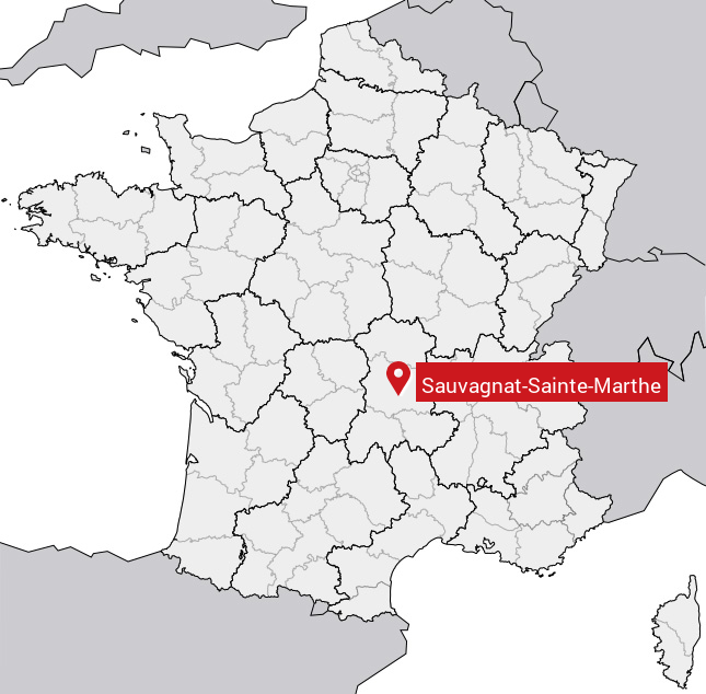
Carte de Sauvagnat-Sainte-Marthe
Coordonnées GPS de Sauvagnat-Sainte-Marthe : Latitude 45.59° N · Longitude 3.208° E
Informations sur Sauvagnat-Sainte-Marthe
Code INSEE : 63411 SOUNDEX : S1253253563 METAPHONE : SFKNTSNTMR0
Communes aux alentours de Sauvagnat-Sainte-Marthe
Avis des habitants (0)
Aucun avis. Soyez le premier à laisser votre avis sur Sauvagnat-Sainte-Marthe.