Présentation de Sainte-Souline
Le petit village de Sainte-Souline
est situé dans le département
de la Charente
(16),
en région
Nouvelle-Aquitaine, anciennement en Poitou-Charente.
Il
appartient au canton de Charente-Sud, et fait parti de la Communauté de communes des 4B Sud Charente.
Sainte-Souline est une commune rurale hors agglomération. Il compte environ 121 habitants pour une superficie de 7.34 km². Son altitude varie entre 98 m et 186 m.
La commune se situe dans une zone rurale à habitat très dispersé, où les habitations sont particulièrement éloignées les unes des autres. Sa densité de population est de 16.0 hab./km².
Code postal de Sainte-Souline : 16480
Évolution démographique
Localisation de Sainte-Souline en France
Département et région : (16) Charente, Poitou-Charente (Aquitaine-Limousin-Poitou-Charentes)
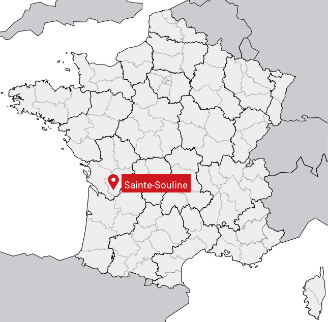
Carte de Sainte-Souline
Coordonnées GPS de Sainte-Souline : Latitude 45.378° N · Longitude -0.021° E
Informations sur Sainte-Souline
Code INSEE : 16354 SOUNDEX : S53245 METAPHONE : SNTSLN
Communes aux alentours de Sainte-Souline
Avis des habitants (0)
Aucun avis. Soyez le premier à laisser votre avis sur Sainte-Souline.