Présentation de Saint-Mexant
Le village de Saint-Mexant
est situé dans le département
de la Corrèze
(19),
en région
Nouvelle-Aquitaine, anciennement en Limousin.
Il
appartient au canton de Naves, et fait parti de la Communauté d'agglomération Tulle Agglo.
Saint-Mexant est une commune rurale hors agglomération. Il compte environ 1 319 habitants pour une superficie de 18.96 km². Son altitude varie entre 314 m et 482 m.
La commune s’inscrit dans un territoire rural à habitat dispersé, caractérisé par des habitations espacées. Sa densité de population est de 70.0 hab./km².
Le prix moyen de l'immobilier à Saint-Mexant est de 952 €/m2.
Code postal de Saint-Mexant : 19330
Évolution démographique
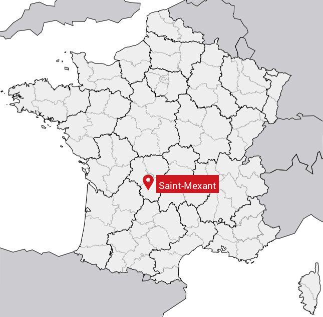
Localisation de Saint-Mexant en France
Département et région : (19) Corrèze, Limousin (Aquitaine-Limousin-Poitou-Charentes)
Carte de Saint-Mexant
Coordonnées GPS de Saint-Mexant : Latitude 45.29° N · Longitude 1.676° E
Informations sur Saint-Mexant
Code INSEE : 19227 SOUNDEX : S535253 METAPHONE : SNTMKSNT
Communes aux alentours de Saint-Mexant
Avis des habitants (0)
Aucun avis. Soyez le premier à laisser votre avis sur Saint-Mexant.