Présentation de Saint-Loubert
Le village de Saint-Loubert
est situé dans le département
de la Gironde
(33),
en région
Nouvelle-Aquitaine, anciennement en Aquitaine.
Il
appartient au canton du Le Sud-Gironde, et fait parti de la Communauté de communes du Sud Gironde.
Saint-Loubert est une commune située dans l’agglomération de Langon. Il compte environ 235 habitants pour une superficie de 2.11 km². Son altitude varie entre 10 m et 46 m.
La commune s’inscrit dans un territoire rural à habitat dispersé, caractérisé par des habitations espacées. Sa densité de population est de 111.0 hab./km².
Le prix moyen de l'immobilier à Saint-Loubert est de 1527 €/m2.
Les habitants de Saint-Loubert se nomment les Lupertiens.
Code postal de Saint-Loubert : 33210
Évolution démographique
Localisation de Saint-Loubert en France
Département et région : (33) Gironde, Aquitaine (Aquitaine-Limousin-Poitou-Charentes)
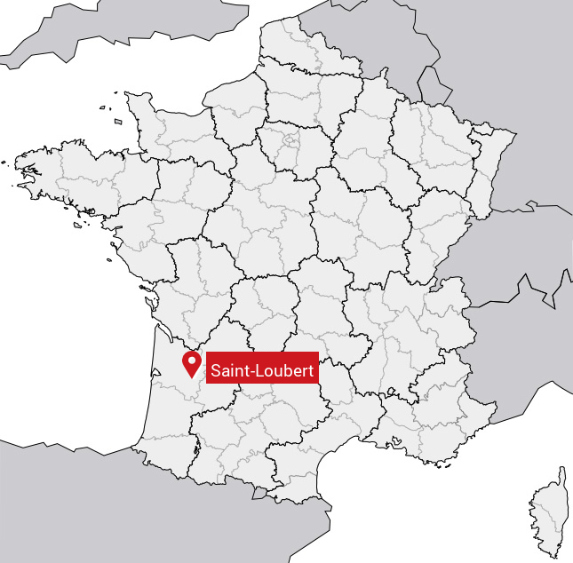
Carte de Saint-Loubert
Coordonnées GPS de Saint-Loubert : Latitude 44.553° N · Longitude -0.169° E
Informations sur Saint-Loubert
Code INSEE : 33432 SOUNDEX : S534163 METAPHONE : SNTLBRT
Communes aux alentours de Saint-Loubert
Avis des habitants (0)
Aucun avis. Soyez le premier à laisser votre avis sur Saint-Loubert.