Présentation de Saint-Léger-sur-Sarthe
Le village de Saint-Léger-sur-Sarthe
est situé dans le département
de l'Orne
(61),
en région
Normandie, anciennement en Basse-Normandie.
Il
appartient au canton de Écouves, et fait parti de la Communauté de communes de la Vallée de la Haute Sarthe.
Saint-Léger-sur-Sarthe est une commune rurale hors agglomération. Il compte environ 308 habitants pour une superficie de 13.28 km². Son altitude varie entre 138 m et 171 m.
La commune se situe dans une zone rurale à habitat très dispersé, où les habitations sont particulièrement éloignées les unes des autres. Sa densité de population est de 23.0 hab./km².
Les habitants de Saint-Léger-sur-Sarthe se nomment les Unionais.
Code postal de Saint-Léger-sur-Sarthe : 61170
Évolution démographique
Localisation de Saint-Léger-sur-Sarthe en France
Département et région : (61) Orne, Basse-Normandie (Normandie)
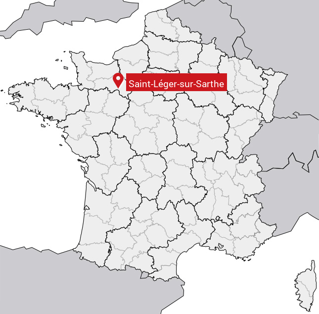
Carte de Saint-Léger-sur-Sarthe
Coordonnées GPS de Saint-Léger-sur-Sarthe : Latitude 48.495° N · Longitude 0.317° E
Informations sur Saint-Léger-sur-Sarthe
Code INSEE : 61415 SOUNDEX : S5342626263 METAPHONE : SNTLJRSRSR0
Communes aux alentours de Saint-Léger-sur-Sarthe
Avis des habitants (0)
Aucun avis. Soyez le premier à laisser votre avis sur Saint-Léger-sur-Sarthe.