Présentation de Saint-Léger-lès-Domart
Le village de Saint-Léger-lès-Domart
est situé dans le département
de la Somme
(80),
en région
Hauts-de-France, anciennement en Picardie.
Il
appartient au canton de Flixecourt, et fait parti de la Communauté de communes Nièvre et Somme.
Saint-Léger-lès-Domart est la ville-centre de son agglomération. Il compte environ 1 827 habitants pour une superficie de 7.12 km². Son altitude varie entre 22 m et 131 m.
Il s’agit d’un bourg rural, offrant un cadre de vie calme au coeur d’un environnement de campagne. Sa densité de population est de 257.0 hab./km².
Le prix moyen de l'immobilier à Saint-Léger-lès-Domart est de 1275 €/m2.
Les habitants de Saint-Léger-lès-Domart se nomment les Léolégariens ou Léolégarois.
Code postal de Saint-Léger-lès-Domart : 80780
Évolution démographique
Localisation de Saint-Léger-lès-Domart en France
Département et région : (80) Somme, Picardie (Nord-Pas-de-Calais-Picardie)
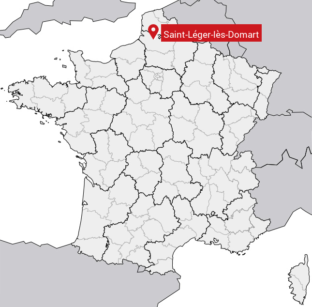
Carte de Saint-Léger-lès-Domart
Coordonnées GPS de Saint-Léger-lès-Domart : Latitude 50.056° N · Longitude 2.14° E
Informations sur Saint-Léger-lès-Domart
Code INSEE : 80706 SOUNDEX : S53426423563 METAPHONE : SNTLJRLSTMRT
Communes aux alentours de Saint-Léger-lès-Domart
Avis des habitants (0)
Aucun avis. Soyez le premier à laisser votre avis sur Saint-Léger-lès-Domart.