Présentation de Saint-Léger-de-Rôtes
Le village de Saint-Léger-de-Rôtes
est situé dans le département
de l'Eure
(27),
en région
Normandie, anciennement en Haute Normandie.
Il
appartient au canton de Bernay, et fait parti de la Communauté de communes Intercom Bernay Terres de Normandie.
Saint-Léger-de-Rôtes est une commune rurale hors agglomération. Il compte environ 471 habitants pour une superficie de 6.52 km². Son altitude varie entre 104 m et 154 m.
La commune s’inscrit dans un territoire rural à habitat dispersé, caractérisé par des habitations espacées. Sa densité de population est de 72.0 hab./km².
Le prix moyen de l'immobilier à Saint-Léger-de-Rôtes est de 765 €/m2.
Les habitants de Saint-Léger-de-Rôtes se nomment les Légerôtois.
Code postal de Saint-Léger-de-Rôtes : 27300
Évolution démographique
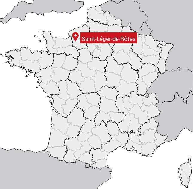
Localisation de Saint-Léger-de-Rôtes en France
Département et région : (27) Eure, Haute Normandie (Normandie)
Carte de Saint-Léger-de-Rôtes
Coordonnées GPS de Saint-Léger-de-Rôtes : Latitude 49.113° N · Longitude 0.662° E
Informations sur Saint-Léger-de-Rôtes
Code INSEE : 27557 SOUNDEX : S534263632 METAPHONE : SNTLJRTRTS
Communes aux alentours de Saint-Léger-de-Rôtes
Avis des habitants (0)
Aucun avis. Soyez le premier à laisser votre avis sur Saint-Léger-de-Rôtes.