Présentation de Saint-Léger-Bridereix
Le village de Saint-Léger-Bridereix
est situé dans le département
de la Creuse
(23),
en région
Nouvelle-Aquitaine, anciennement en Limousin.
Il
appartient au canton de La Souterraine, et fait parti de la Communauté de communes du Pays Sostranien.
Saint-Léger-Bridereix est une commune rurale hors agglomération. Il compte environ 175 habitants pour une superficie de 8.57 km². Son altitude varie entre 283 m et 405 m.
La commune se situe dans une zone rurale à habitat très dispersé, où les habitations sont particulièrement éloignées les unes des autres. Sa densité de population est de 20.0 hab./km².
Les habitants de Saint-Léger-Bridereix se nomment les Briderois, Brideroises.
Code postal de Saint-Léger-Bridereix : 23300
Évolution démographique
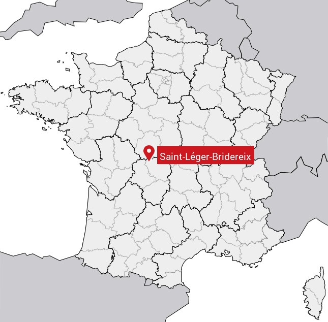
Localisation de Saint-Léger-Bridereix en France
Département et région : (23) Creuse, Limousin (Aquitaine-Limousin-Poitou-Charentes)
Carte de Saint-Léger-Bridereix
Coordonnées GPS de Saint-Léger-Bridereix : Latitude 46.281° N · Longitude 1.578° E
Informations sur Saint-Léger-Bridereix
Code INSEE : 23207 SOUNDEX : S5342616362 METAPHONE : SNTLJRBRTRKS
Communes aux alentours de Saint-Léger-Bridereix
Avis des habitants (0)
Aucun avis. Soyez le premier à laisser votre avis sur Saint-Léger-Bridereix.