Présentation de Saint-Hubert
Le village de Saint-Hubert
est situé dans le département
de la Moselle
(57),
en région
Grand Est, anciennement en Lorraine.
Il
appartient au canton du Le Pays Messin, et fait parti de la Communauté de communes Haut Chemin-Pays de Pange.
Saint-Hubert est une commune rurale hors agglomération. Il compte environ 234 habitants pour une superficie de 15.99 km². Son altitude varie entre 204 m et 353 m.
La commune se situe dans une zone rurale à habitat très dispersé, où les habitations sont particulièrement éloignées les unes des autres. Sa densité de population est de 15.0 hab./km².
Les habitants de Saint-Hubert se nomment les Saint-Hubergeois.
Code postal de Saint-Hubert : 57640
Évolution démographique
Localisation de Saint-Hubert en France
Département et région : (57) Moselle, Lorraine (Grand Est)
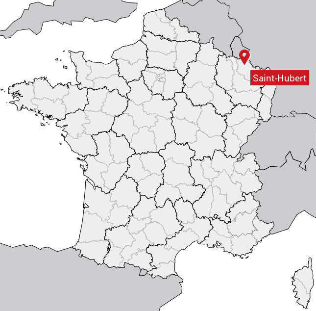
Carte de Saint-Hubert
Coordonnées GPS de Saint-Hubert : Latitude 49.231° N · Longitude 6.362° E
Informations sur Saint-Hubert
Code INSEE : 57612 SOUNDEX : S53163 METAPHONE : SNTHBRT
Communes aux alentours de Saint-Hubert
Avis des habitants (0)
Aucun avis. Soyez le premier à laisser votre avis sur Saint-Hubert.