Présentation de Saint-Colomb-de-Lauzun
Le village de Saint-Colomb-de-Lauzun
est situé dans le département
du Lot-et-Garonne
(47),
en région
Nouvelle-Aquitaine, anciennement en Aquitaine.
Il
appartient au canton du Le Val du Dropt, et fait parti de la Communauté de communes du Pays de Lauzun.
Saint-Colomb-de-Lauzun est une commune rurale hors agglomération. Il compte environ 473 habitants pour une superficie de 23.39 km². Son altitude varie entre 67 m et 136 m.
La commune se situe dans une zone rurale à habitat très dispersé, où les habitations sont particulièrement éloignées les unes des autres. Sa densité de population est de 20.0 hab./km².
Le prix moyen de l'immobilier à Saint-Colomb-de-Lauzun est de 864 €/m2.
Les habitants de Saint-Colomb-de-Lauzun se nomment les Saint-ColombinsSaint-Colombines.
Code postal de Saint-Colomb-de-Lauzun : 47410
Évolution démographique
Localisation de Saint-Colomb-de-Lauzun en France
Département et région : (47) Lot-et-Garonne, Aquitaine (Aquitaine-Limousin-Poitou-Charentes)
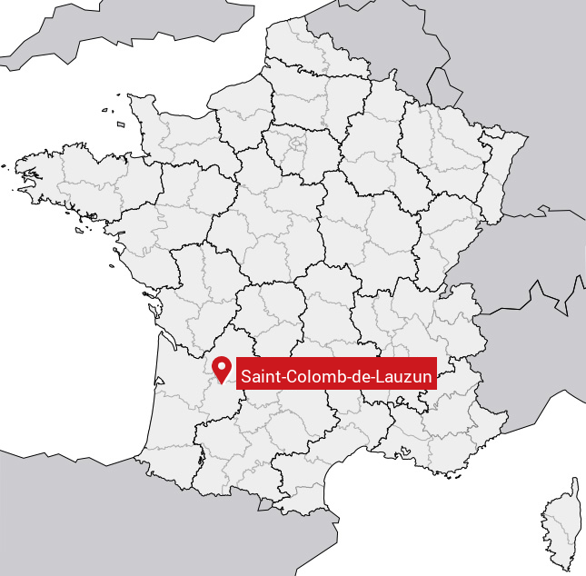
Carte de Saint-Colomb-de-Lauzun
Coordonnées GPS de Saint-Colomb-de-Lauzun : Latitude 44.608° N · Longitude 0.478° E
Informations sur Saint-Colomb-de-Lauzun
Code INSEE : 47235 SOUNDEX : S5324513425 METAPHONE : SNTKLMTLSN
Communes aux alentours de Saint-Colomb-de-Lauzun
Avis des habitants (0)
Aucun avis. Soyez le premier à laisser votre avis sur Saint-Colomb-de-Lauzun.