Présentation de Saint-Clément-Rancoudray
Le village de Saint-Clément-Rancoudray
est situé dans le département
de la Manche
(50),
en région
Normandie, anciennement en Basse-Normandie.
Il
appartient au canton du Le Mortainais, et fait parti de la Communauté d'agglomération Mont-Saint-Michel-Normandie.
Saint-Clément-Rancoudray est une commune rurale hors agglomération. Il compte environ 547 habitants pour une superficie de 32.73 km². Son altitude varie entre 225 m et 321 m.
La commune se situe dans une zone rurale à habitat très dispersé, où les habitations sont particulièrement éloignées les unes des autres. Sa densité de population est de 17.0 hab./km².
Le prix moyen de l'immobilier à Saint-Clément-Rancoudray est de 556 €/m2.
Code postal de Saint-Clément-Rancoudray : 50140
Évolution démographique
Localisation de Saint-Clément-Rancoudray en France
Département et région : (50) Manche, Basse-Normandie (Normandie)
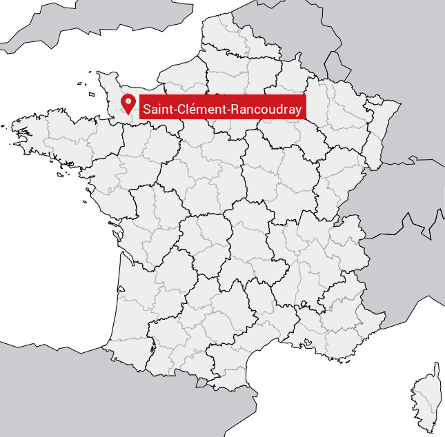
Carte de Saint-Clément-Rancoudray
Coordonnées GPS de Saint-Clément-Rancoudray : Latitude 48.669° N · Longitude -0.89° E
Informations sur Saint-Clément-Rancoudray
Code INSEE : 50456 SOUNDEX : S53245365236 METAPHONE : SNTKLMNTRNKTR
Communes aux alentours de Saint-Clément-Rancoudray
Avis des habitants (0)
Aucun avis. Soyez le premier à laisser votre avis sur Saint-Clément-Rancoudray.