Présentation de Saint-Christophe-en-Boucherie
Le village de Saint-Christophe-en-Boucherie
est situé dans le département
de l'Indre
(36),
en région
Centre-Val de Loire, anciennement en Centre.
Il
appartient au canton de La Châtre, et fait parti de la Communauté de communes de la Châtre et Sainte-Sévère.
Saint-Christophe-en-Boucherie est une commune rurale hors agglomération. Il compte environ 241 habitants pour une superficie de 26.96 km². Son altitude varie entre 191 m et 274 m.
La commune se situe dans une zone rurale à habitat très dispersé, où les habitations sont particulièrement éloignées les unes des autres. Sa densité de population est de 9.0 hab./km².
Le prix moyen de l'immobilier à Saint-Christophe-en-Boucherie est de 689 €/m2.
Code postal de Saint-Christophe-en-Boucherie : 36400
Évolution démographique
Localisation de Saint-Christophe-en-Boucherie en France
Département et région : (36) Indre, Centre (Centre-Val de Loire)
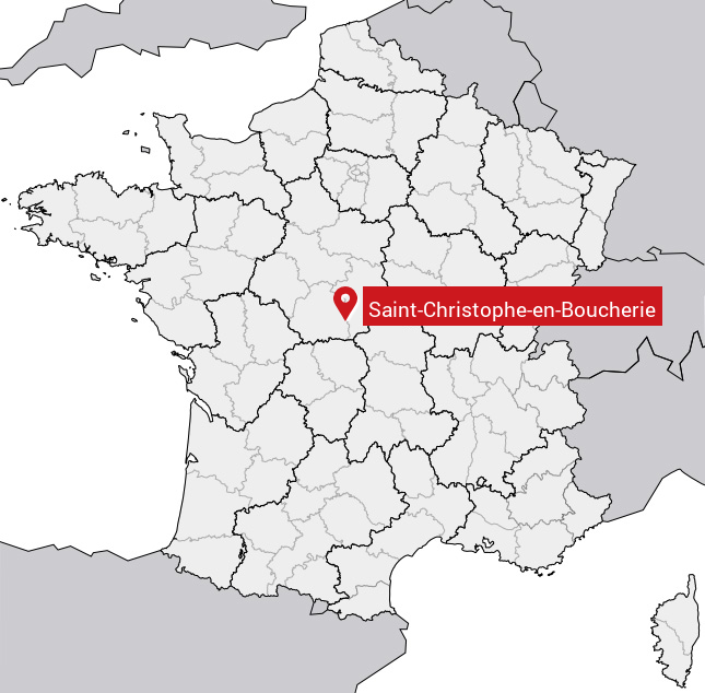
Carte de Saint-Christophe-en-Boucherie
Coordonnées GPS de Saint-Christophe-en-Boucherie : Latitude 46.68° N · Longitude 2.116° E
Informations sur Saint-Christophe-en-Boucherie
Code INSEE : 36186 SOUNDEX : S53262315126 METAPHONE : SNTXRSTFNBXR
Communes aux alentours de Saint-Christophe-en-Boucherie
Avis des habitants (0)
Aucun avis. Soyez le premier à laisser votre avis sur Saint-Christophe-en-Boucherie.