Présentation de Saint-Avertin
La ville de Saint-Avertin
est située dans le département
de l'Indre-et-Loire
(37),
en région
Centre-Val de Loire, anciennement en Centre.
Elle
appartient au canton de Saint-Pierre-des-Corps, et fait partie de la Tours Métropole Val de Loire.
Saint-Avertin est une commune située dans l’agglomération de Tours. Elle compte environ 15 000 habitants pour une superficie de 13.07 km². Son altitude varie entre 46 m et 98 m.
La ville fait partie des grands centres urbains, caractérisés par une forte densité de population et une activité importante. Sa densité de population est de 1 148 hab./km².
Le prix moyen de l'immobilier à Saint-Avertin est de 2652 €/m2.
Les habitants de Saint-Avertin se nomment les Saint-Avertinois.
Code postal de Saint-Avertin : 37550
Évolution démographique
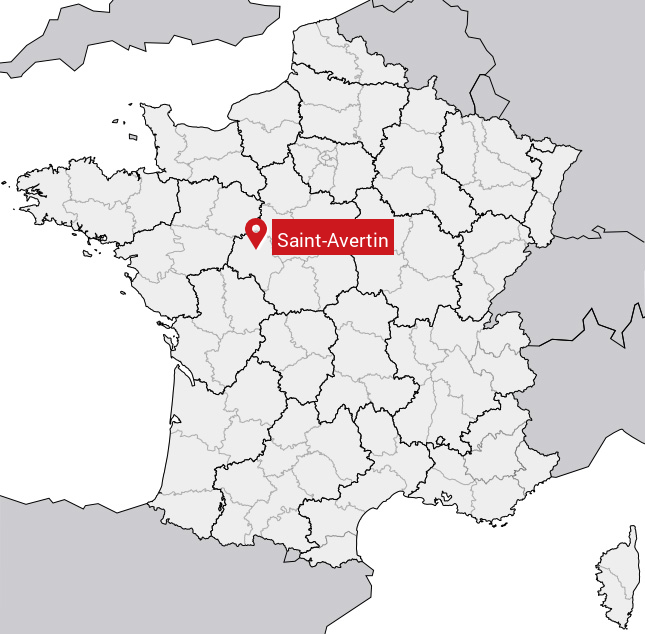
Localisation de Saint-Avertin en France
Département et région : (37) Indre-et-Loire, Centre (Centre-Val de Loire)
Carte de Saint-Avertin
Coordonnées GPS de Saint-Avertin : Latitude 47.357° N · Longitude 0.738° E
Informations sur Saint-Avertin
Code INSEE : 37208 SOUNDEX : S531635 METAPHONE : SNTFRTN
Communes aux alentours de Saint-Avertin
Avis des habitants (0)
Aucun avis. Soyez le premier à laisser votre avis sur Saint-Avertin.