Présentation de Saint-Andiol
Le village de Saint-Andiol
est situé dans le département
des Bouches-du-Rhône
(13),
en région
Provence-Alpes-Côte d'Azur.
Il
appartient au canton de Châteaurenard, et fait parti de la Communauté d'agglomération Terre de Provence.
Saint-Andiol est une commune située dans l’agglomération de Avignon. Il compte environ 3 380 habitants pour une superficie de 16.11 km². Son altitude varie entre 47 m et 67 m.
Il s’agit d’un bourg rural, offrant un cadre de vie calme au coeur d’un environnement de campagne. Sa densité de population est de 210.0 hab./km².
Le prix moyen de l'immobilier à Saint-Andiol est de 4126 €/m2.
Les habitants de Saint-Andiol se nomment les Saint-Andiolais.
Code postal de Saint-Andiol : 13670
Évolution démographique
Localisation de Saint-Andiol en France
Département et région : (13) Bouches-du-Rhône, Provence-Alpes-Côte-d'Azur
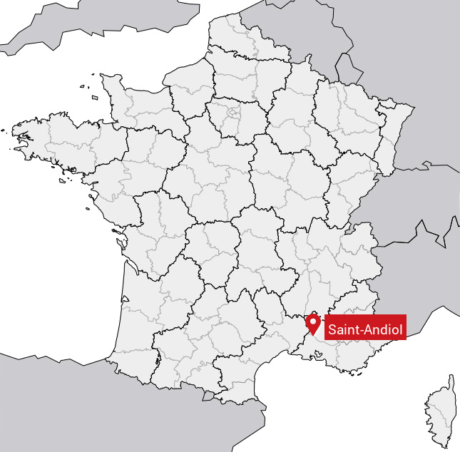
Carte de Saint-Andiol
Coordonnées GPS de Saint-Andiol : Latitude 43.831° N · Longitude 4.95° E
Informations sur Saint-Andiol
Code INSEE : 13089 SOUNDEX : S53534 METAPHONE : SNTNTL
Communes aux alentours de Saint-Andiol
Avis des habitants (0)
Aucun avis. Soyez le premier à laisser votre avis sur Saint-Andiol.