Présentation de Saint-Amand
Le petit village de Saint-Amand
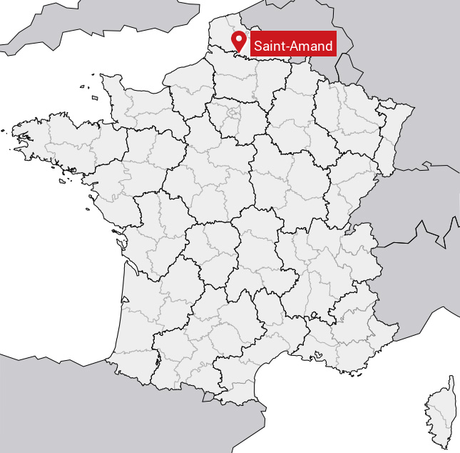
est situé dans le département
du Pas-de-Calais
(62),
en région
Hauts-de-France, anciennement en Nord-Pas-de-Calais.
Il
appartient au canton d' Avesnes-le-Comte, et fait parti de la Communauté de communes des Campagnes de l'Artois.
Saint-Amand est une commune rurale hors agglomération. Il compte environ 116 habitants pour une superficie de 5.49 km². Son altitude varie entre 130 m et 168 m.
La commune s’inscrit dans un territoire rural à habitat dispersé, caractérisé par des habitations espacées. Sa densité de population est de 21.0 hab./km².
Les habitants de Saint-Amand se nomment les Saint-Amandinois.
Code postal de Saint-Amand : 62760
Évolution démographique
Localisation de Saint-Amand en France
Département et région : (62) Pas-de-Calais, Nord-Pas-de-Calais (Nord-Pas-de-Calais-Picardie)
À voir à Saint-Amand
Musées de Saint-Amand
Il y a 3 musées à visiter à Saint-Amand.
Monuments historiques de Saint-Amand
Il y a un monument historique à voir à Saint-Amand.
|
Chapelle du cimetière
62760 Saint-Amand
|
Carte de Saint-Amand
Coordonnées GPS de Saint-Amand : Latitude 50.17° N · Longitude 2.561° E
Informations sur Saint-Amand
Code INSEE : 62741 SOUNDEX : S5353 METAPHONE : SNTMNT
Communes aux alentours de Saint-Amand
Avis des habitants (0)
Aucun avis. Soyez le premier à laisser votre avis sur Saint-Amand.