Présentation de Saint-Agathon
Le village de Saint-Agathon
est situé dans le département
des Côtes-d'Armor
(22),
en région
Bretagne.
Il
appartient au canton de Guingamp, et fait parti de la Communauté d'agglomération Guingamp-Paimpol Agglomération de l'Armor à l'Argoat.
Saint-Agathon est une commune située dans l’agglomération de Guingamp. Il compte environ 2 236 habitants pour une superficie de 14.66 km². Son altitude varie entre 80 m et 146 m.
La commune s’inscrit dans un territoire rural à habitat dispersé, caractérisé par des habitations espacées. Sa densité de population est de 153.0 hab./km².
Le prix moyen de l'immobilier à Saint-Agathon est de 1584 €/m2.
Les habitants de Saint-Agathon se nomment les Saint-Agathonnais.
Code postal de Saint-Agathon : 22200
Évolution démographique
Localisation de Saint-Agathon en France
Département et région : (22) Côtes-d'Armor, Bretagne
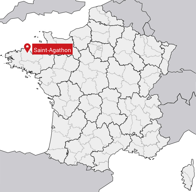
Carte de Saint-Agathon
Coordonnées GPS de Saint-Agathon : Latitude 48.563° N · Longitude -3.101° E
Informations sur Saint-Agathon
Code INSEE : 22272 SOUNDEX : S53235 METAPHONE : SNTK0N
Communes aux alentours de Saint-Agathon
Avis des habitants (0)
Aucun avis. Soyez le premier à laisser votre avis sur Saint-Agathon.