Présentation de Terres-de-Haute-Charente
Le village de Terres-de-Haute-Charente
est situé dans le département
de la Charente
(16),
en région
Nouvelle-Aquitaine, anciennement en Poitou-Charente.
Il
appartient au canton de Terres-de-Haute-Charente, et fait parti de la Communauté de communes de Charente Limousine.
Roumazières-Loubert est une commune rurale hors agglomération. Il compte environ 3 829 habitants pour une superficie de 46.46 km². Son altitude varie entre 155 m et 245 m.
La commune s’inscrit dans un territoire rural à habitat dispersé, caractérisé par des habitations espacées. Sa densité de population est de 82.0 hab./km².
Le prix moyen de l'immobilier à Terres-de-Haute-Charente est de 848 €/m2.
Code postal de Terres-de-Haute-Charente : 16270
Évolution démographique
Localisation de Terres-de-Haute-Charente en France
Département et région : (16) Charente, Poitou-Charente (Aquitaine-Limousin-Poitou-Charentes)
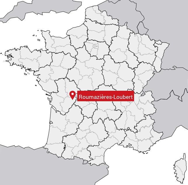
Carte de Terres-de-Haute-Charente
Coordonnées GPS de Terres-de-Haute-Charente : Latitude 45.91° N · Longitude 0.573° E
Informations sur Roumazières-Loubert
Code INSEE : 16192 SOUNDEX : R52624163 METAPHONE : RMSRSLBRT
Communes aux alentours de Terres-de-Haute-Charente
Avis des habitants (0)
Aucun avis. Soyez le premier à laisser votre avis sur Roumazières-Loubert.