Présentation de Romorantin-Lanthenay
La ville de Romorantin-Lanthenay
est située dans le département
du Loir-et-Cher
(41),
en région
Centre-Val de Loire, anciennement en Centre.
Elle
fait partie de la Communauté de communes du Romorantinais et du Monestois.
Romorantin-Lanthenay est une ville située à l’écart des grands pôles urbains. Elle compte environ 18 115 habitants pour une superficie de 45.03 km². Son altitude varie entre 84 m et 121 m.
La ville fait partie des petites villes, proposant un cadre de vie à taille humaine avec des services de proximité. Sa densité de population est de 402.0 hab./km².
Le prix moyen de l'immobilier à Romorantin-Lanthenay est de 1266 €/m2.
Les habitants de Romorantin-Lanthenay se nomment les Romorantinais.
Code postal de Romorantin-Lanthenay : 41200
Évolution démographique
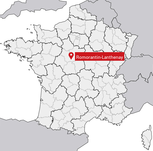
Localisation de Romorantin-Lanthenay en France
Département et région : (41) Loir-et-Cher, Centre (Centre-Val de Loire)
À voir à Romorantin-Lanthenay
Musées de Romorantin-Lanthenay
Il y a un musée à visiter à Romorantin-Lanthenay.
|
Musée de Sologne
Moulin du Chapitre
B.P. 147 41206 ROMORANTIN-LANTHENAY
|
Monuments historiques de Romorantin-Lanthenay
Il y a 11 monuments inscrits au patrimoine historique à voir à Romorantin-Lanthenay.
|
Ancienne église de Monthault
41200 Romorantin-Lanthenay
|
|
Eglise Notre-Dame, puis Saint-Etienne de Romoranti
Jeanne-d'Arc (place), 41200 Romorantin-Lanthenay
|
|
Ancien hôtel Saint-Pol ou maison dite de François
Milieu (rue du) 16, 41200 Romorantin-Lanthenay
|
|
Maison en bois dite Le Carroir Doré, au Carroir Do
Pierre (rue de la) 21, 41200 Romorantin-Lanthenay
|
|
Maison Louis XIII
Pont (rue du) 3 , 41200 Romorantin-Lanthenay
|
|
Maison à pans de bois
Pont (rue du) 10, 12, 41200 Romorantin-Lanthenay
|
|
Maison en pans de bois ou Hôtel de la Chancellerie
Résistance (rue de la) 14, 41200 Romorantin-Lanthenay
|
|
Sous-Préfecture
41200 Romorantin-Lanthenay
|
|
Tour Jacquemard
41200 Romorantin-Lanthenay
|
|
Hôtel Lionel-Normant, actuellement hôtel de ville
Saint-Roch (faubourg), 41200 Romorantin-Lanthenay
|
|
Usine Normant, actuellement usine Matra Automobile
Normant (rue) , 41200 Romorantin-Lanthenay
|
Carte de Romorantin-Lanthenay
Coordonnées GPS de Romorantin-Lanthenay : Latitude 47.374° N · Longitude 1.745° E
Informations sur Romorantin-Lanthenay
Code INSEE : 41194 SOUNDEX : R565354535 METAPHONE : RMRNTNLN0N
Communes aux alentours de Romorantin-Lanthenay
Avis des habitants (0)
Aucun avis. Soyez le premier à laisser votre avis sur Romorantin-Lanthenay.