Présentation de la Poterie-Cap-d'Antifer
Le village de la Poterie-Cap-d'Antifer
est situé dans le département
de la Seine-Maritime
(76),
en région
Normandie, anciennement en Haute Normandie.
Il
appartient au canton d' Octeville-sur-Mer, et fait parti de la Communauté urbaine Le Havre Seine Métropole.
La Poterie-Cap-d'Antifer est une commune rurale hors agglomération. Il compte environ 453 habitants pour une superficie de 5.91 km². Son altitude varie entre 0 m et 114 m.
La commune s’inscrit dans un territoire rural à habitat dispersé, caractérisé par des habitations espacées. Sa densité de population est de 77.0 hab./km².
Le prix moyen de l'immobilier à Poterie-Cap-d'Antifer est de 1580 €/m2.
Les habitants de la Poterie-Cap-d'Antifer se nomment les Potiais, Potiaises.
Code postal de la Poterie-Cap-d'Antifer : 76280
Évolution démographique
Localisation de la Poterie-Cap-d'Antifer en France
Département et région : (76) Seine-Maritime, Haute Normandie (Normandie)
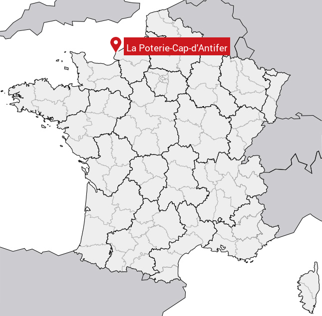
Carte de la Poterie-Cap-d'Antifer
Coordonnées GPS de la Poterie-Cap-d'Antifer : Latitude 49.678° N · Longitude 0.178° E
Informations sur La Poterie-Cap-d'Antifer
Code INSEE : 76508 SOUNDEX : L1362135316 METAPHONE : LPTRKPTNTFR
Communes aux alentours de la Poterie-Cap-d'Antifer
Avis des habitants (0)
Aucun avis. Soyez le premier à laisser votre avis sur La Poterie-Cap-d'Antifer.