Présentation de Plouégat-Guérand
Le village de Plouégat-Guérand
est situé dans le département
du Finistère
(29),
en région
Bretagne.
Il
appartient au canton de Plouigneau, et fait parti de la Communauté d'agglomération Morlaix Communauté.
Plouégat-Guérand est une commune rurale hors agglomération. Il compte environ 1 060 habitants pour une superficie de 17.44 km². Son altitude varie entre 2 m et 151 m.
La commune s’inscrit dans un territoire rural à habitat dispersé, caractérisé par des habitations espacées. Sa densité de population est de 61.0 hab./km².
Le prix moyen de l'immobilier à Plouégat-Guérand est de 1485 €/m2.
Les habitants de Plouégat-Guérand se nomment les Plouégatais.
Code postal de Plouégat-Guérand : 29620
Évolution démographique
Localisation de Plouégat-Guérand en France
Département et région : (29) Finistère, Bretagne
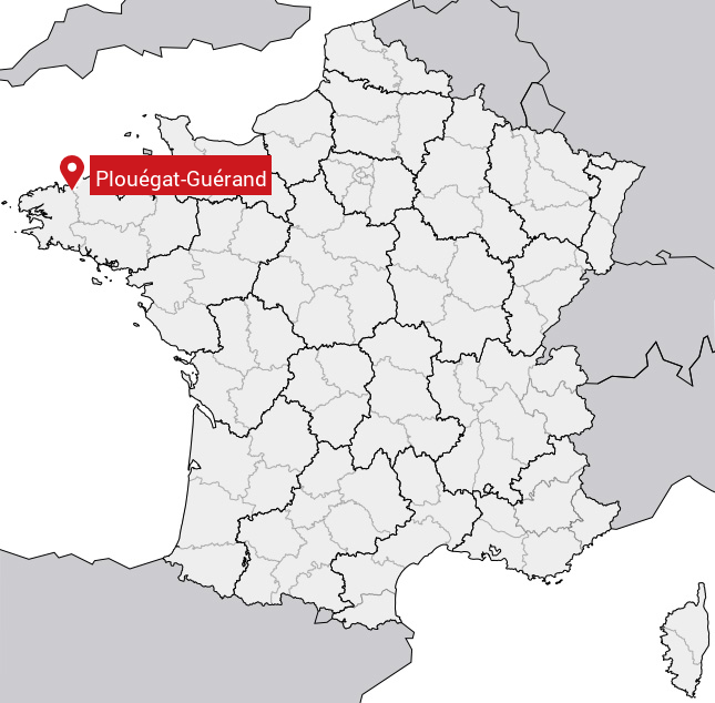
Carte de Plouégat-Guérand
Coordonnées GPS de Plouégat-Guérand : Latitude 48.622° N · Longitude -3.67° E
Informations sur Plouégat-Guérand
Code INSEE : 29182 SOUNDEX : P4232653 METAPHONE : PLKTKRNT
Communes aux alentours de Plouégat-Guérand
Avis des habitants (0)
Aucun avis. Soyez le premier à laisser votre avis sur Plouégat-Guérand.