Présentation de Ploudaniel
Le village de Ploudaniel
est situé dans le département
du Finistère
(29),
en région
Bretagne.
Il
appartient au canton de Lesneven, et fait parti de la Communauté de communes Communauté Lesneven Côte des Légendes.
Ploudaniel est une commune rurale hors agglomération. Il compte environ 3 775 habitants pour une superficie de 45.67 km². Son altitude varie entre 27 m et 121 m.
Il s’agit d’un bourg rural, offrant un cadre de vie calme au coeur d’un environnement de campagne. Sa densité de population est de 83.0 hab./km².
Le prix moyen de l'immobilier à Ploudaniel est de 1375 €/m2.
Les habitants de Ploudaniel se nomment les Ploudaniélois.
Code postal de Ploudaniel : 29260
Évolution démographique
Localisation de Ploudaniel en France
Département et région : (29) Finistère, Bretagne
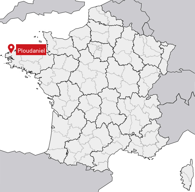
Carte de Ploudaniel
Coordonnées GPS de Ploudaniel : Latitude 48.523° N · Longitude -4.314° E
Informations sur Ploudaniel
Code INSEE : 29179 SOUNDEX : P4354 METAPHONE : PLTNL
Communes aux alentours de Ploudaniel
Avis des habitants (0)
Aucun avis. Soyez le premier à laisser votre avis sur Ploudaniel.