Présentation de Louchy-Montfand
Le village de Louchy-Montfand
est situé dans le département
de l'Allier
(03),
en région
Auvergne-Rhône-Alpes, anciennement en Auvergne.
Il
appartient au canton de Saint-Pourçain-sur-Sioule, et fait parti de la Communauté de communes Saint-Pourçain Sioule Limagne.
Louchy-Montfand est une commune rurale hors agglomération. Il compte environ 418 habitants pour une superficie de 5.36 km². Son altitude varie entre 241 m et 342 m.
La commune s’inscrit dans un territoire rural à habitat dispersé, caractérisé par des habitations espacées. Sa densité de population est de 78.0 hab./km².
Les habitants de Louchy-Montfand se nomment les Louchyssois, Louchyssoises.
Code postal de Louchy-Montfand : 03500
Évolution démographique
Localisation de Louchy-Montfand en France
Département et région : (03) Allier, Auvergne (Auvergne-Rhône-Alpes)
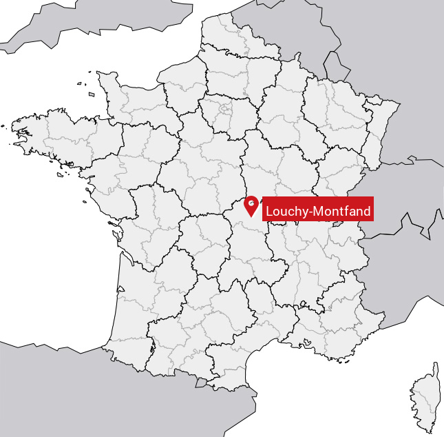
Carte de Louchy-Montfand
Coordonnées GPS de Louchy-Montfand : Latitude 46.308° N · Longitude 3.245° E
Informations sur Louchy-Montfand
Code INSEE : 03149 SOUNDEX : L253153 METAPHONE : LXMNTFNT
Communes aux alentours de Louchy-Montfand
Avis des habitants (0)
Aucun avis. Soyez le premier à laisser votre avis sur Louchy-Montfand.