Présentation de Lawarde-Mauger-l'Hortoy
Le village de Lawarde-Mauger-l'Hortoy
est situé dans le département
de la Somme
(80),
en région
Hauts-de-France, anciennement en Picardie.
Il
appartient au canton d' Ailly-sur-Noye, et fait parti de la Communauté de communes Avre Luce Noye.
Lawarde-Mauger-l'Hortoy est une commune rurale hors agglomération. Il compte environ 156 habitants pour une superficie de 9.36 km². Son altitude varie entre 89 m et 167 m.
La commune s’inscrit dans un territoire rural à habitat dispersé, caractérisé par des habitations espacées. Sa densité de population est de 17.0 hab./km².
Code postal de Lawarde-Mauger-l'Hortoy : 80250
Évolution démographique
Localisation de Lawarde-Mauger-l'Hortoy en France
Département et région : (80) Somme, Picardie (Nord-Pas-de-Calais-Picardie)
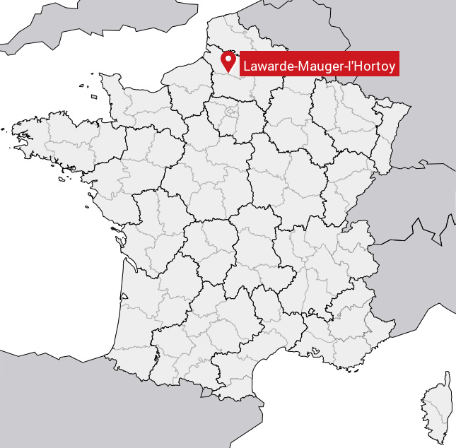
Carte de Lawarde-Mauger-l'Hortoy
Coordonnées GPS de Lawarde-Mauger-l'Hortoy : Latitude 49.712° N · Longitude 2.271° E
Informations sur Lawarde-Mauger-l'Hortoy
Code INSEE : 80469 SOUNDEX : L63526463 METAPHONE : LWRTMJRLHRT
Communes aux alentours de Lawarde-Mauger-l'Hortoy
Avis des habitants (0)
Aucun avis. Soyez le premier à laisser votre avis sur Lawarde-Mauger-l'Hortoy.