Présentation de Lavoûte-Chilhac
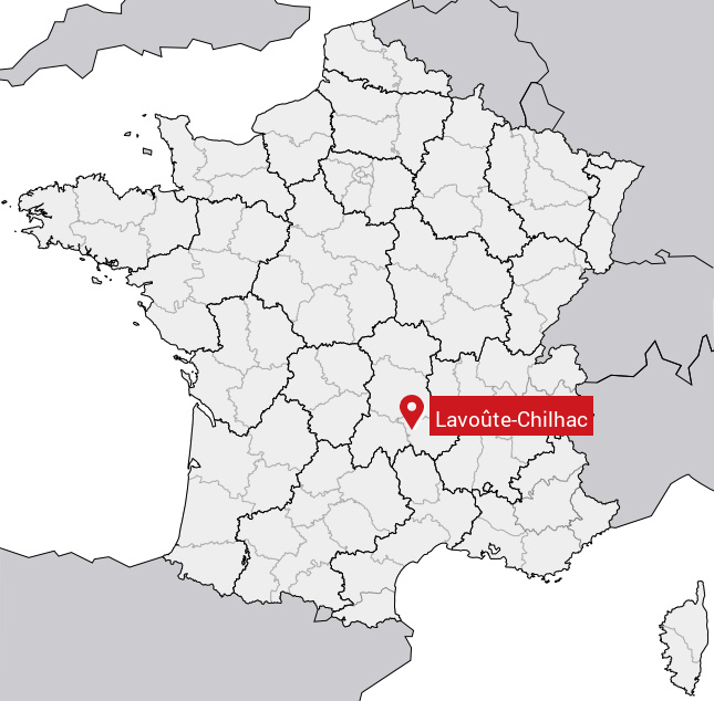
Le village de Lavoûte-Chilhac se trouve dans le département français de la Haute-Loire (43) en région Auvergne, dans la nouvelle région Auvergne-Rhône-Alpes.
Lavoûte-Chilhac compte environ 300 habitants, sa superficie est de 3.61 km². Son altitude est comprise entre 447 m et 640 m.
Sa densité de population était de 85 hab./km² en 2010 (source INSEE).
Code postal de Lavoûte-Chilhac : 43380
Évolution démographique
Localisation de Lavoûte-Chilhac en France
Département et région : (43) Haute-Loire, Auvergne (Auvergne-Rhône-Alpes)
À voir à Lavoûte-Chilhac
Monuments historiques de Lavoûte-Chilhac
Il y a 2 monuments inscrits au patrimoine historique à voir à Lavoûte-Chilhac.
|
Prieuré de Lavoûte-Chilhac
43380 Lavoûte-Chilhac
|
|
Pont
43380 Lavoûte-Chilhac
|
Carte de Lavoûte-Chilhac
Coordonnées GPS de Lavoûte-Chilhac : Latitude 45.15° N · Longitude 3.4° E
Informations sur Lavoûte-Chilhac
Code INSEE : 43118 SOUNDEX : L13242 METAPHONE : LFTXLHK
Communes aux alentours de Lavoûte-Chilhac
Avis des habitants (0)
Aucun avis. Soyez le premier à laisser votre avis sur Lavoûte-Chilhac.