Présentation de Lachapelle-sous-Chaux
Le village de Lachapelle-sous-Chaux
est situé dans le département
du Territoire-de-Belfort
(90),
en région
Bourgogne-Franche-Comté, anciennement en Franche Comté.
Il
appartient au canton de Giromagny, et fait parti de la Communauté de communes des Vosges du Sud.
Lachapelle-sous-Chaux est une commune située dans l’agglomération de Belfort. Il compte environ 751 habitants pour une superficie de 10.93 km². Son altitude varie entre 392 m et 605 m.
Il s’agit d’un bourg rural, offrant un cadre de vie calme au coeur d’un environnement de campagne. Sa densité de population est de 69.0 hab./km².
Les habitants de Lachapelle-sous-Chaux se nomment les Chapelottis.
Code postal de Lachapelle-sous-Chaux : 90300
Évolution démographique
Localisation de Lachapelle-sous-Chaux en France
Département et région : (90) Territoire-de-Belfort, Franche Comté (Bourgogne-Franche-Comté)
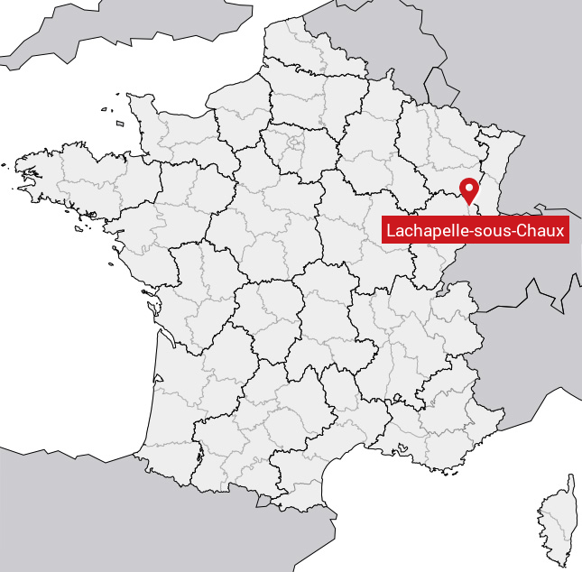
Carte de Lachapelle-sous-Chaux
Coordonnées GPS de Lachapelle-sous-Chaux : Latitude 47.705° N · Longitude 6.799° E
Informations sur Lachapelle-sous-Chaux
Code INSEE : 90057 SOUNDEX : L2142 METAPHONE : LXPLSSXKS
Communes aux alentours de Lachapelle-sous-Chaux
Avis des habitants (0)
Aucun avis. Soyez le premier à laisser votre avis sur Lachapelle-sous-Chaux.