Présentation de Katzenthal
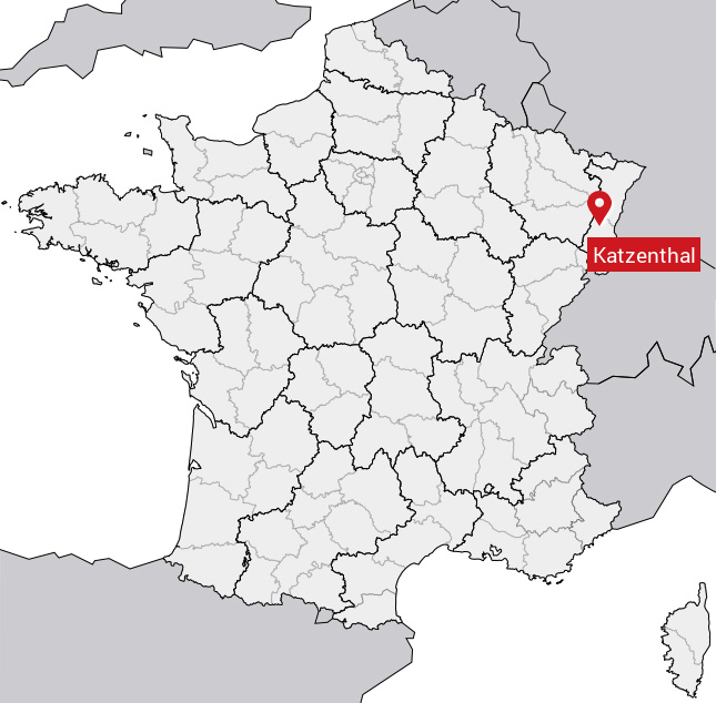
Le village de Katzenthal
est situé dans le département
de l'Haut-Rhin
(68),
en région
Grand Est, anciennement en Alsace.
Il
appartient au canton de Sainte-Marie-aux-Mines, et fait parti de la Communauté de communes de la Vallée de Kaysersberg.
Katzenthal est une commune rurale hors agglomération. Il compte environ 527 habitants pour une superficie de 3.45 km². Son altitude varie entre 210 m et 660 m.
La commune se situe en périphérie d’une agglomération, dans une zone résidentielle. Sa densité de population est de 153.0 hab./km².
Code postal de Katzenthal : 68230
Évolution démographique
Localisation de Katzenthal en France
Département et région : (68) Haut-Rhin, Alsace (Grand Est)
Carte de Katzenthal
Coordonnées GPS de Katzenthal : Latitude 48.107° N · Longitude 7.282° E
Informations sur Katzenthal
Code INSEE : 68161 SOUNDEX : K32534 METAPHONE : KTSN0L
Communes aux alentours de Katzenthal
Avis des habitants (0)
Aucun avis. Soyez le premier à laisser votre avis sur Katzenthal.