Présentation d'Houlbec-Cocherel
Le village d'Houlbec-Cocherel
est situé dans le département
de l'Eure
(27),
en région
Normandie, anciennement en Haute Normandie.
Il
appartient au canton de Pacy-sur-Eure, et fait parti de la Communauté d'agglomération Seine Normandie Agglomération.
Houlbec-Cocherel est une commune rurale hors agglomération. Il compte environ 1 262 habitants pour une superficie de 11.73 km². Son altitude varie entre 35 m et 143 m.
La commune s’inscrit dans un territoire rural à habitat dispersé, caractérisé par des habitations espacées. Sa densité de population est de 108.0 hab./km².
Le prix moyen de l'immobilier à Houlbec-Cocherel est de 1454 €/m2.
Les habitants d'Houlbec-Cocherel se nomment les Houlbecquois.
Code postal d'Houlbec-Cocherel : 27120
Évolution démographique
Localisation d'Houlbec-Cocherel en France
Département et région : (27) Eure, Haute Normandie (Normandie)
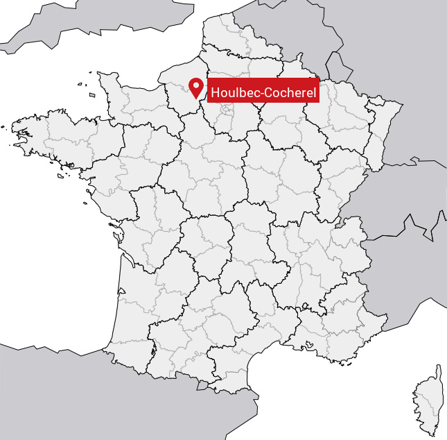
Carte d'Houlbec-Cocherel
Coordonnées GPS d'Houlbec-Cocherel : Latitude 49.064° N · Longitude 1.361° E
Informations sur Houlbec-Cocherel
Code INSEE : 27343 SOUNDEX : H41264 METAPHONE : HLBKKXRL
Communes aux alentours d'Houlbec-Cocherel
Avis des habitants (0)
Aucun avis. Soyez le premier à laisser votre avis sur Houlbec-Cocherel.