Présentation de Gundershoffen
Le village de Gundershoffen
est situé dans le département
du Bas-Rhin
(67),
en région
Grand Est, anciennement en Alsace.
Il
appartient au canton de Reichshoffen, et fait parti de la Communauté de communes du Pays de Niederbronn-les-Bains.
Gundershoffen est la ville-centre de son agglomération. Il compte environ 3 779 habitants pour une superficie de 17.39 km². Son altitude varie entre 163 m et 261 m.
La ville fait partie des petites villes, proposant un cadre de vie à taille humaine avec des services de proximité. Sa densité de population est de 217.0 hab./km².
Les habitants de Gundershoffen se nomment les Gundershoffenois, Gundershoffenoises.
Code postal de Gundershoffen : 67110
Évolution démographique
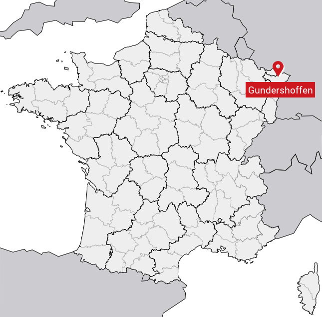
Localisation de Gundershoffen en France
Département et région : (67) Bas-Rhin, Alsace (Grand Est)
Carte de Gundershoffen
Coordonnées GPS de Gundershoffen : Latitude 48.907° N · Longitude 7.682° E
Informations sur Gundershoffen
Code INSEE : 67176 SOUNDEX : G536215 METAPHONE : KNTRXFN
Communes aux alentours de Gundershoffen
Avis des habitants (0)
Aucun avis. Soyez le premier à laisser votre avis sur Gundershoffen.