Présentation d'Ernemont-Boutavent
Le village d'Ernemont-Boutavent
est situé dans le département
de l'Oise
(60),
en région
Hauts-de-France, anciennement en Picardie.
Il
appartient au canton de Grandvilliers, et fait parti de la Communauté de communes de la Picardie Verte.
Ernemont-Boutavent est une commune rurale hors agglomération. Il compte environ 189 habitants pour une superficie de 9.05 km². Son altitude varie entre 147 m et 206 m.
La commune s’inscrit dans un territoire rural à habitat dispersé, caractérisé par des habitations espacées. Sa densité de population est de 21.0 hab./km².
Code postal d'Ernemont-Boutavent : 60380
Évolution démographique
Localisation d'Ernemont-Boutavent en France
Département et région : (60) Oise, Picardie (Nord-Pas-de-Calais-Picardie)
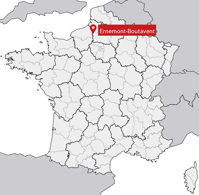
Carte d'Ernemont-Boutavent
Coordonnées GPS d'Ernemont-Boutavent : Latitude 49.593° N · Longitude 1.795° E
Informations sur Ernemont-Boutavent
Code INSEE : 60214 SOUNDEX : E65313153 METAPHONE : ERNMNTBTFNT
Communes aux alentours d'Ernemont-Boutavent
Avis des habitants (0)
Aucun avis. Soyez le premier à laisser votre avis sur Ernemont-Boutavent.