Présentation de Chindrieux
Le village de Chindrieux
est situé dans le département
de la Savoie
(73),
en région
Auvergne-Rhône-Alpes, anciennement en Rhône-Alpes.
Il
appartient au canton de Bugey savoyard, et fait parti de la Communauté d'agglomération Grand Lac.
Chindrieux est une commune rurale hors agglomération. Il compte environ 1 445 habitants pour une superficie de 20.28 km². Son altitude varie entre 227 m et 900 m.
Il s’agit d’un bourg rural, offrant un cadre de vie calme au coeur d’un environnement de campagne. Sa densité de population est de 71.0 hab./km².
Le prix moyen de l'immobilier à Chindrieux est de 3130 €/m2.
Les habitants de Chindrieux se nomment les Chindrelains, Chindrolins, Chindrolais.
Code postal de Chindrieux : 73310
Évolution démographique
Localisation de Chindrieux en France
Département et région : (73) Savoie, Rhône-Alpes (Auvergne-Rhône-Alpes)
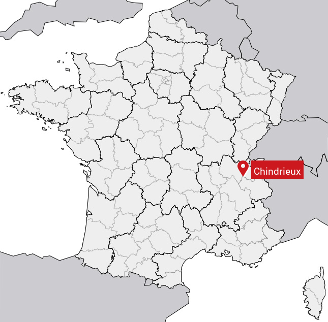
Carte de Chindrieux
Coordonnées GPS de Chindrieux : Latitude 45.813° N · Longitude 5.845° E
Informations sur Chindrieux
Code INSEE : 73085 SOUNDEX : C5362 METAPHONE : XNTRKS
Communes aux alentours de Chindrieux
Avis des habitants (0)
Aucun avis. Soyez le premier à laisser votre avis sur Chindrieux.