Présentation de Chauvency-Saint-Hubert
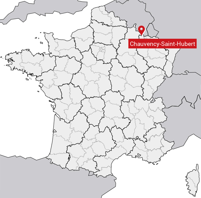
Le village de Chauvency-Saint-Hubert
est situé dans le département
de la Meuse
(55),
en région
Grand Est, anciennement en Lorraine.
Il
appartient au canton de Montmédy, et fait parti de la Communauté de communes du Pays de Montmédy.
Chauvency-Saint-Hubert est une commune rurale hors agglomération. Il compte environ 223 habitants pour une superficie de 10.8 km². Son altitude varie entre 172 m et 342 m.
La commune s’inscrit dans un territoire rural à habitat dispersé, caractérisé par des habitations espacées. Sa densité de population est de 21.0 hab./km².
Code postal de Chauvency-Saint-Hubert : 55600
Évolution démographique
Localisation de Chauvency-Saint-Hubert en France
Département et région : (55) Meuse, Lorraine (Grand Est)
Carte de Chauvency-Saint-Hubert
Coordonnées GPS de Chauvency-Saint-Hubert : Latitude 49.54° N · Longitude 5.297° E
Informations sur Chauvency-Saint-Hubert
Code INSEE : 55110 SOUNDEX : C15253163 METAPHONE : XFNSSNTHBRT
Communes aux alentours de Chauvency-Saint-Hubert
Avis des habitants (0)
Aucun avis. Soyez le premier à laisser votre avis sur Chauvency-Saint-Hubert.