Présentation de Châtillon-sur-Saône
Le village de Châtillon-sur-Saône
est situé dans le département
des Vosges
(88),
en région
Grand Est, anciennement en Lorraine.
Il
appartient au canton de Darney, et fait parti de la Communauté de communes des Vosges côté Sud Ouest.
Châtillon-sur-Saône est une commune rurale hors agglomération. Il compte environ 108 habitants pour une superficie de 9.23 km². Son altitude varie entre 229 m et 398 m.
La commune s’inscrit dans un territoire rural à habitat dispersé, caractérisé par des habitations espacées. Sa densité de population est de 12.0 hab./km².
Les habitants de Châtillon-sur-Saône se nomment les Châtillonnais(es)s.
Code postal de Châtillon-sur-Saône : 88410
Évolution démographique
Localisation de Châtillon-sur-Saône en France
Département et région : (88) Vosges, Lorraine (Grand Est)
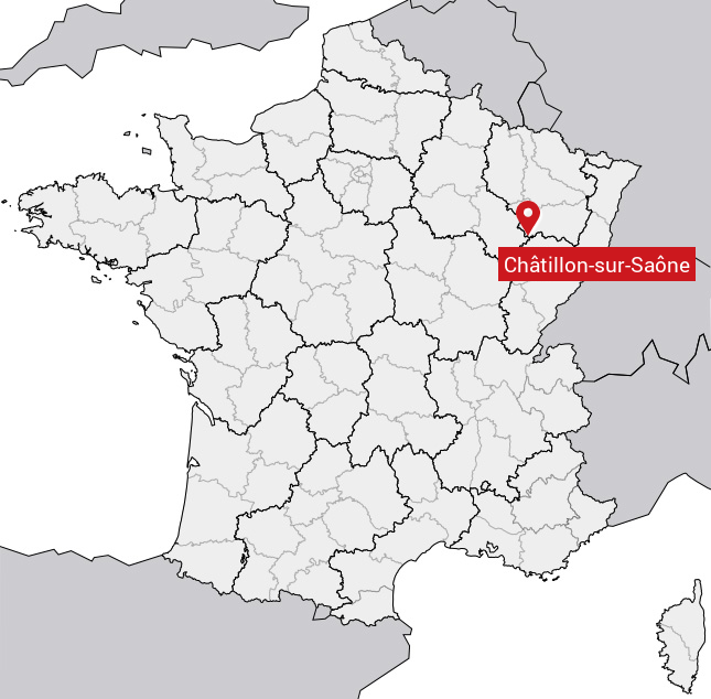
Carte de Châtillon-sur-Saône
Coordonnées GPS de Châtillon-sur-Saône : Latitude 47.949° N · Longitude 5.878° E
Informations sur Châtillon-sur-Saône
Code INSEE : 88096 SOUNDEX : C3452625 METAPHONE : XTLNSRSN
Communes aux alentours de Châtillon-sur-Saône
Avis des habitants (0)
Aucun avis. Soyez le premier à laisser votre avis sur Châtillon-sur-Saône.