Présentation de Châtillon-lès-Sons
Le petit village de Châtillon-lès-Sons
est situé dans le département
de l'Aisne
(02),
en région
Hauts-de-France, anciennement en Picardie.
Il
appartient au canton de Marle, et fait parti de la Communauté de communes du Pays de la Serre.
Châtillon-lès-Sons est une commune rurale hors agglomération. Il compte environ 84 habitants pour une superficie de 10.75 km². Son altitude varie entre 80 m et 151 m.
La commune s’inscrit dans un territoire rural à habitat dispersé, caractérisé par des habitations espacées. Sa densité de population est de 8.0 hab./km².
Les habitants de Châtillon-lès-Sons se nomment les Châtillonnais(es)s.
Code postal de Châtillon-lès-Sons : 02270
Évolution démographique
Localisation de Châtillon-lès-Sons en France
Département et région : (02) Aisne, Picardie (Nord-Pas-de-Calais-Picardie)
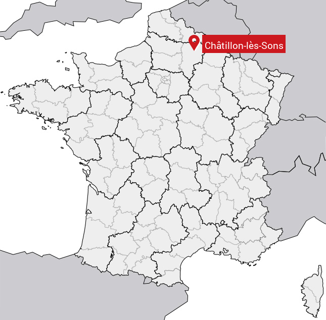
Carte de Châtillon-lès-Sons
Coordonnées GPS de Châtillon-lès-Sons : Latitude 49.762° N · Longitude 3.703° E
Informations sur Châtillon-lès-Sons
Code INSEE : 02169 SOUNDEX : C3454252 METAPHONE : XTLNLSSNS
Communes aux alentours de Châtillon-lès-Sons
Avis des habitants (0)
Aucun avis. Soyez le premier à laisser votre avis sur Châtillon-lès-Sons.