Présentation de Châtelraould-Saint-Louvent
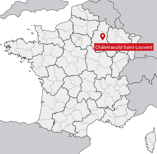
Le village de Châtelraould-Saint-Louvent
est situé dans le département
de la Marne
(51),
en région
Grand Est, anciennement en Champagne-Ardenne.
Il
appartient au canton de Vitry-le-François-Champagne et Der, et fait parti de la Communauté de communes de Vitry, Champagne et Der.
Châtelraould-Saint-Louvent est une commune rurale hors agglomération. Il compte environ 247 habitants pour une superficie de 16.87 km². Son altitude varie entre 103 m et 223 m.
La commune s’inscrit dans un territoire rural à habitat dispersé, caractérisé par des habitations espacées. Sa densité de population est de 15.0 hab./km².
Code postal de Châtelraould-Saint-Louvent : 51300
Évolution démographique
Localisation de Châtelraould-Saint-Louvent en France
Département et région : (51) Marne, Champagne-Ardenne (Grand Est)
Carte de Châtelraould-Saint-Louvent
Coordonnées GPS de Châtelraould-Saint-Louvent : Latitude 48.662° N · Longitude 4.516° E
Informations sur Châtelraould-Saint-Louvent
Code INSEE : 51134 SOUNDEX : C346432534153 METAPHONE : XTLRLTSNTLFNT
Communes aux alentours de Châtelraould-Saint-Louvent
Avis des habitants (0)
Aucun avis. Soyez le premier à laisser votre avis sur Châtelraould-Saint-Louvent.