Présentation de Chârost
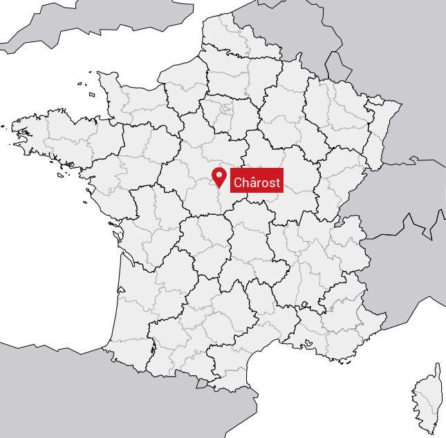
Le village de Chârost
est situé dans le département
du Cher
(18),
en région
Centre-Val de Loire, anciennement en Centre.
Il
fait parti de la Communauté de communes du Pays d'Issoudun.
Chârost est une commune rurale hors agglomération. Il compte environ 912 habitants pour une superficie de 10.88 km². Son altitude varie entre 119 m et 162 m.
Il s’agit d’un bourg rural, offrant un cadre de vie calme au coeur d’un environnement de campagne. Sa densité de population est de 84.0 hab./km².
Le prix moyen de l'immobilier à Chârost est de 1008 €/m2.
Les habitants de Chârost se nomment les Chârostais, Chârostaises.
Code postal de Chârost : 18290
Évolution démographique
Localisation de Chârost en France
Département et région : (18) Cher, Centre (Centre-Val de Loire)
Carte de Chârost
Coordonnées GPS de Chârost : Latitude 46.991° N · Longitude 2.128° E
Informations sur Chârost
Code INSEE : 18055 SOUNDEX : C623 METAPHONE : XRST
Communes aux alentours de Chârost
Avis des habitants (0)
Aucun avis. Soyez le premier à laisser votre avis sur Chârost.