Présentation de Chapelle-Voland
Le village de Chapelle-Voland
est situé dans le département
du Jura
(39),
en région
Bourgogne-Franche-Comté, anciennement en Franche Comté.
Il
appartient au canton de Bletterans, et fait parti de la Communauté de communes Bresse Haute Seille.
Chapelle-Voland est une commune rurale hors agglomération. Il compte environ 613 habitants pour une superficie de 30.42 km². Son altitude varie entre 183 m et 218 m.
La commune se situe dans une zone rurale à habitat très dispersé, où les habitations sont particulièrement éloignées les unes des autres. Sa densité de population est de 20.0 hab./km².
Le prix moyen de l'immobilier à Chapelle-Voland est de 729 €/m2.
Code postal de Chapelle-Voland : 39140
Évolution démographique
Localisation de Chapelle-Voland en France
Département et région : (39) Jura, Franche Comté (Bourgogne-Franche-Comté)
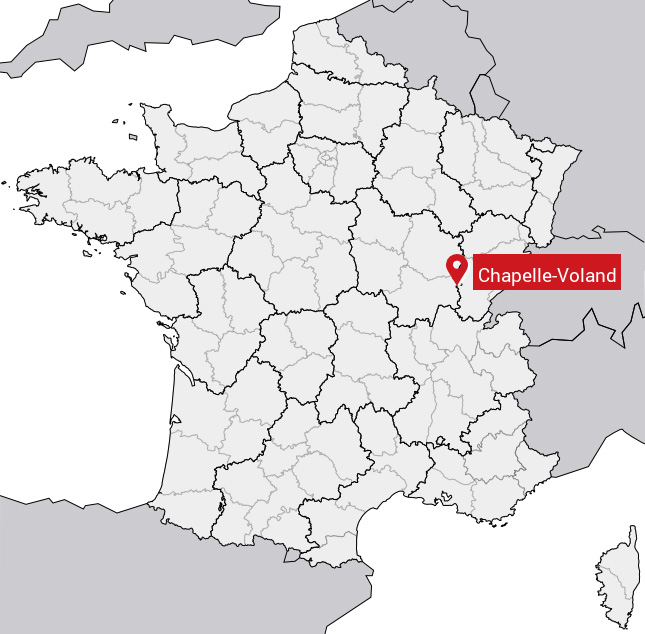
Carte de Chapelle-Voland
Coordonnées GPS de Chapelle-Voland : Latitude 46.801° N · Longitude 5.381° E
Informations sur Chapelle-Voland
Code INSEE : 39104 SOUNDEX : C141453 METAPHONE : XPLFLNT
Communes aux alentours de Chapelle-Voland
Avis des habitants (0)
Aucun avis. Soyez le premier à laisser votre avis sur Chapelle-Voland.