Présentation de la Chapelle-Saint-Quillain
Le petit village de la Chapelle-Saint-Quillain
est situé dans le département
de l'Haute-Saône
(70),
en région
Bourgogne-Franche-Comté, anciennement en Franche Comté.
Il
appartient au canton de Scey-sur-Saône-et-Saint-Albin, et fait parti de la Communauté de communes des Monts de Gy.
La Chapelle-Saint-Quillain est une commune rurale hors agglomération. Il compte environ 151 habitants pour une superficie de 10.29 km². Son altitude varie entre 222 m et 262 m.
La commune s’inscrit dans un territoire rural à habitat dispersé, caractérisé par des habitations espacées. Sa densité de population est de 15.0 hab./km².
Code postal de la Chapelle-Saint-Quillain : 70700
Évolution démographique
Localisation de la Chapelle-Saint-Quillain en France
Département et région : (70) Haute-Saône, Franche Comté (Bourgogne-Franche-Comté)
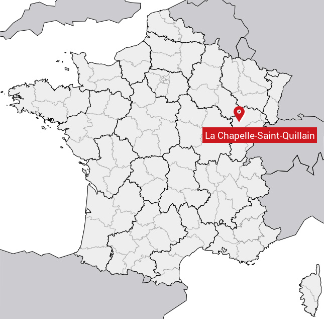
Carte de la Chapelle-Saint-Quillain
Coordonnées GPS de la Chapelle-Saint-Quillain : Latitude 47.485° N · Longitude 5.817° E
Informations sur La Chapelle-Saint-Quillain
Code INSEE : 70129 SOUNDEX : L214253245 METAPHONE : LXPLSNTKLN
Communes aux alentours de la Chapelle-Saint-Quillain
Avis des habitants (0)
Aucun avis. Soyez le premier à laisser votre avis sur La Chapelle-Saint-Quillain.