Présentation de la Chapelle-Saint-Luc
La ville de la Chapelle-Saint-Luc
est située dans le département
de l'Aube
(10),
en région
Grand Est, anciennement en Champagne-Ardenne.
Elle
appartient au canton de Troyes-3, et fait partie de la Communauté d'agglomération Troyes Champagne Métropole.
La Chapelle-Saint-Luc est une commune située dans l’agglomération de Troyes. Elle compte environ 12 299 habitants pour une superficie de 10.48 km². Son altitude varie entre 98 m et 164 m.
La ville fait partie des grands centres urbains, caractérisés par une forte densité de population et une activité importante. Sa densité de population est de 1 174 hab./km².
Le prix moyen de l'immobilier à Chapelle-Saint-Luc est de 1683 €/m2.
Les habitants de la Chapelle-Saint-Luc se nomment les Chapelains.
Code postal de la Chapelle-Saint-Luc : 10600
Évolution démographique
Localisation de la Chapelle-Saint-Luc en France
Département et région : (10) Aube, Champagne-Ardenne (Grand Est)
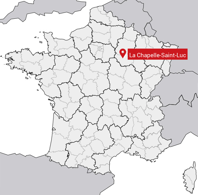
Carte de la Chapelle-Saint-Luc
Coordonnées GPS de la Chapelle-Saint-Luc : Latitude 48.316° N · Longitude 4.035° E
Informations sur La Chapelle-Saint-Luc
Code INSEE : 10081 SOUNDEX : L21425342 METAPHONE : LXPLSNTLK
Communes aux alentours de la Chapelle-Saint-Luc
Avis des habitants (0)
Aucun avis. Soyez le premier à laisser votre avis sur La Chapelle-Saint-Luc.