Présentation de la Chapelle-Saint-Laurian
Le petit village de la Chapelle-Saint-Laurian
est situé dans le département
de l'Indre
(36),
en région
Centre-Val de Loire, anciennement en Centre.
Il
appartient au canton de Levroux, et fait parti de la Communauté de communes Champagne Boischauts.
La Chapelle-Saint-Laurian est une commune située dans l’agglomération de Vatan. Il compte environ 135 habitants pour une superficie de 9.88 km². Son altitude varie entre 125 m et 174 m.
La commune se situe dans une zone rurale à habitat très dispersé, où les habitations sont particulièrement éloignées les unes des autres. Sa densité de population est de 14.0 hab./km².
Les habitants de la Chapelle-Saint-Laurian se nomment les Chappelais.
Code postal de la Chapelle-Saint-Laurian : 36150
Évolution démographique
Localisation de la Chapelle-Saint-Laurian en France
Département et région : (36) Indre, Centre (Centre-Val de Loire)
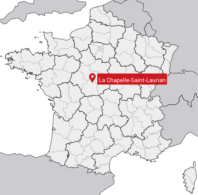
Carte de la Chapelle-Saint-Laurian
Coordonnées GPS de la Chapelle-Saint-Laurian : Latitude 47.055° N · Longitude 1.783° E
Informations sur La Chapelle-Saint-Laurian
Code INSEE : 36041 SOUNDEX : L214253465 METAPHONE : LXPLSNTLRN
Communes aux alentours de la Chapelle-Saint-Laurian
Avis des habitants (0)
Aucun avis. Soyez le premier à laisser votre avis sur La Chapelle-Saint-Laurian.