Présentation de la Chapelle-Saint-Laurent
Le village de la Chapelle-Saint-Laurent
est situé dans le département
du Deux-Sèvres
(79),
en région
Nouvelle-Aquitaine, anciennement en Poitou-Charente.
Il
appartient au canton de Cerizay, et fait parti de la Communauté d'agglomération du Bocage Bressuirais.
La Chapelle-Saint-Laurent est une commune rurale hors agglomération. Il compte environ 2 071 habitants pour une superficie de 28.79 km². Son altitude varie entre 149 m et 235 m.
Il s’agit d’un bourg rural, offrant un cadre de vie calme au coeur d’un environnement de campagne. Sa densité de population est de 72.0 hab./km².
Le prix moyen de l'immobilier à Chapelle-Saint-Laurent est de 989 €/m2.
Code postal de la Chapelle-Saint-Laurent : 79430
Évolution démographique
Localisation de la Chapelle-Saint-Laurent en France
Département et région : (79) Deux-Sèvres, Poitou-Charente (Aquitaine-Limousin-Poitou-Charentes)
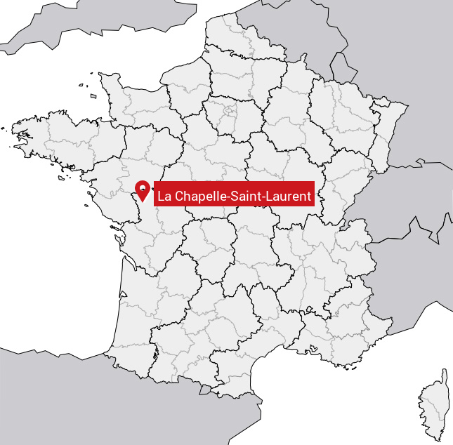
Carte de la Chapelle-Saint-Laurent
Coordonnées GPS de la Chapelle-Saint-Laurent : Latitude 46.732° N · Longitude -0.466° E
Informations sur La Chapelle-Saint-Laurent
Code INSEE : 79076 SOUNDEX : L2142534653 METAPHONE : LXPLSNTLRNT
Communes aux alentours de la Chapelle-Saint-Laurent
Avis des habitants (0)
Aucun avis. Soyez le premier à laisser votre avis sur La Chapelle-Saint-Laurent.