Présentation de la Chapelle-Saint-Aubert
Le village de la Chapelle-Saint-Aubert
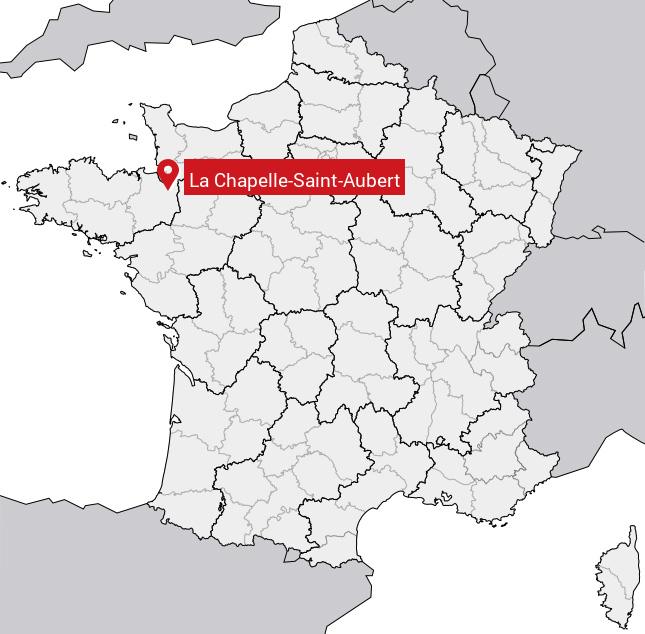
est situé dans le département
de l'Ile-et-Vilaine
(35),
en région
Bretagne.
Il
appartient au canton de Fougères-1, et fait parti de la Communauté d'agglomération Fougères Agglomération.
La Chapelle-Saint-Aubert est une commune rurale hors agglomération. Il compte environ 456 habitants pour une superficie de 10 km². Son altitude varie entre 51 m et 128 m.
La commune s’inscrit dans un territoire rural à habitat dispersé, caractérisé par des habitations espacées. Sa densité de population est de 46.0 hab./km².
Les habitants de la Chapelle-Saint-Aubert se nomment les Chapelois.
Code postal de la Chapelle-Saint-Aubert : 35140
Évolution démographique
Localisation de la Chapelle-Saint-Aubert en France
Département et région : (35) Ile-et-Vilaine, Bretagne
Carte de la Chapelle-Saint-Aubert
Coordonnées GPS de la Chapelle-Saint-Aubert : Latitude 48.31° N · Longitude -1.314° E
Informations sur La Chapelle-Saint-Aubert
Code INSEE : 35063 SOUNDEX : L214253163 METAPHONE : LXPLSNTBRT
Communes aux alentours de la Chapelle-Saint-Aubert
Avis des habitants (0)
Aucun avis. Soyez le premier à laisser votre avis sur La Chapelle-Saint-Aubert.