Présentation de la Chapelle-Saint-André
Le village de la Chapelle-Saint-André
est situé dans le département
de la Nièvre
(58),
en région
Bourgogne-Franche-Comté, anciennement en Bourgogne.
Il
appartient au canton de Clamecy, et fait parti de la Communauté de communes Haut Nivernais-Val d'Yonne.
La Chapelle-Saint-André est une commune rurale hors agglomération. Il compte environ 297 habitants pour une superficie de 27.25 km². Son altitude varie entre 195 m et 310 m.
La commune s’inscrit dans un territoire rural à habitat dispersé, caractérisé par des habitations espacées. Sa densité de population est de 11.0 hab./km².
Le prix moyen de l'immobilier à Chapelle-Saint-André est de 537 €/m2.
Code postal de la Chapelle-Saint-André : 58210
Évolution démographique
Localisation de la Chapelle-Saint-André en France
Département et région : (58) Nièvre, Bourgogne (Bourgogne-Franche-Comté)
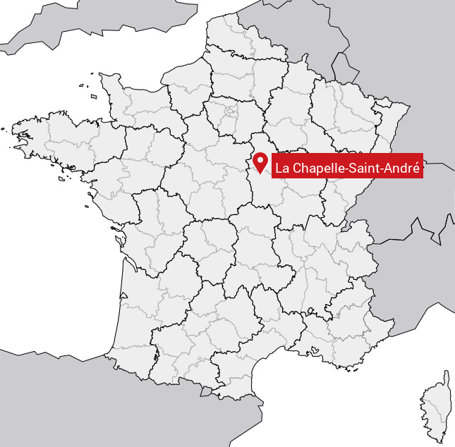
Carte de la Chapelle-Saint-André
Coordonnées GPS de la Chapelle-Saint-André : Latitude 47.401° N · Longitude 3.324° E
Informations sur La Chapelle-Saint-André
Code INSEE : 58058 SOUNDEX : L214253536 METAPHONE : LXPLSNTNTR
Communes aux alentours de la Chapelle-Saint-André
Avis des habitants (0)
Aucun avis. Soyez le premier à laisser votre avis sur La Chapelle-Saint-André.