⚠️ La Chapelle-Monthodon : commune non répertoriée en 2025
Cette commune n'existe plus en tant qu'entité administrative indépendante. Comme de nombreuses communes françaises, La Chapelle-Monthodon a été concernée par les réformes territoriales engagées depuis la loi du 16 mars 2015 relative à l'amélioration du régime de la commune nouvelle. Ces réformes ont encouragé la fusion de petites communes entre elles, ou le rattachement à une commune voisine plus importante, entraînant parfois également un changement de nom officiel. Le code INSEE 02161, qui identifiait La Chapelle-Monthodon dans le département 02 - Aisne, n'est ainsi plus référencé dans le découpage communal en vigueur.
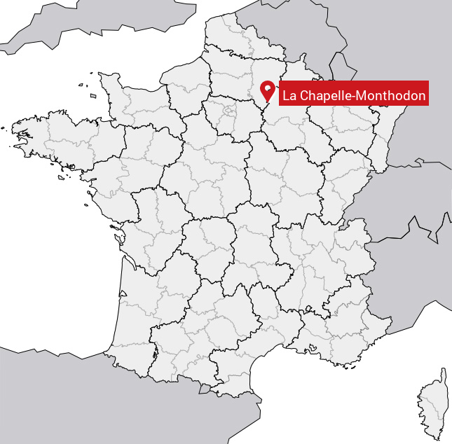
Les informations historiques ci-dessous correspondent à la situation de La Chapelle-Monthodon telle qu'elle était recensée avant sa disparition administrative. Elles restent disponibles à titre de référence : la commune comptait 200 habitants en 2012, s'étendait sur 14.28 km² dans le département 02 - Aisne , et son code postal était le 02330. Si vous recherchez des informations actualisées, nous vous invitons à consulter la page de la commune qui l'a absorbée ou dont elle fait désormais partie.
Ancienne localisation de La Chapelle-Monthodon sur la carte de France