Présentation de la Chapelle-Montbrandeix
Le village de la Chapelle-Montbrandeix
est situé dans le département
de l'Haute-Vienne
(87),
en région
Nouvelle-Aquitaine, anciennement en Limousin.
Il
appartient au canton de Rochechouart, et fait parti de la Communauté de communes Ouest Limousin.
La Chapelle-Montbrandeix est une commune rurale hors agglomération. Il compte environ 264 habitants pour une superficie de 20 km². Son altitude varie entre 319 m et 482 m.
La commune se situe dans une zone rurale à habitat très dispersé, où les habitations sont particulièrement éloignées les unes des autres. Sa densité de population est de 13.0 hab./km².
Le prix moyen de l'immobilier à Chapelle-Montbrandeix est de 1908 €/m2.
Les habitants de la Chapelle-Montbrandeix se nomment les Chapelauds.
Code postal de la Chapelle-Montbrandeix : 87440
Évolution démographique
Localisation de la Chapelle-Montbrandeix en France
Département et région : (87) Haute-Vienne, Limousin (Aquitaine-Limousin-Poitou-Charentes)
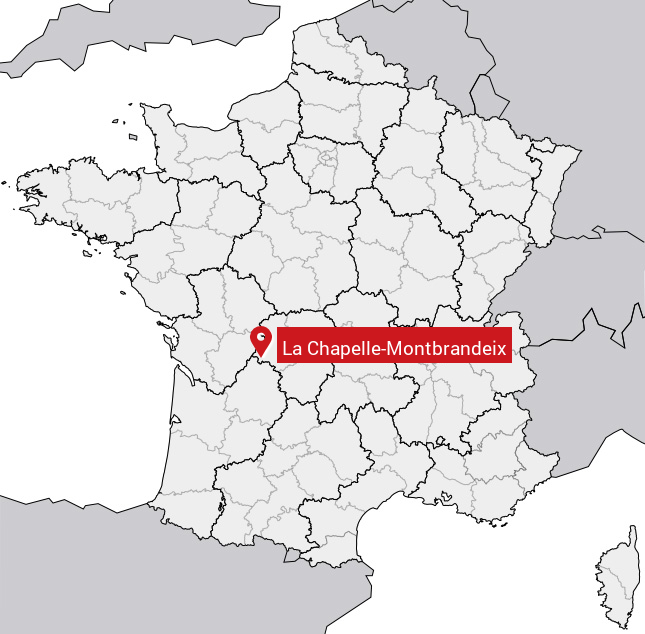
Carte de la Chapelle-Montbrandeix
Coordonnées GPS de la Chapelle-Montbrandeix : Latitude 45.645° N · Longitude 0.853° E
Informations sur La Chapelle-Montbrandeix
Code INSEE : 87037 SOUNDEX : L2145316532 METAPHONE : LXPLMNTBRNTKS
Communes aux alentours de la Chapelle-Montbrandeix
Avis des habitants (0)
Aucun avis. Soyez le premier à laisser votre avis sur La Chapelle-Montbrandeix.