Présentation de la Chapelle-du-Noyer
Le village de la Chapelle-du-Noyer
est situé dans le département
de l'Eure-et-Loir
(28),
en région
Centre-Val de Loire, anciennement en Centre.
Il
appartient au canton de Châteaudun, et fait parti de la Communauté de communes du Grand Châteaudun.
La Chapelle-du-Noyer est une commune située dans l’agglomération de Châteaudun. Il compte environ 1 012 habitants pour une superficie de 13.37 km². Son altitude varie entre 102 m et 146 m.
La ville fait partie des petites villes, proposant un cadre de vie à taille humaine avec des services de proximité. Sa densité de population est de 76.0 hab./km².
Le prix moyen de l'immobilier à Chapelle-du-Noyer est de 1387 €/m2.
Code postal de la Chapelle-du-Noyer : 28200
Évolution démographique
Localisation de la Chapelle-du-Noyer en France
Département et région : (28) Eure-et-Loir, Centre (Centre-Val de Loire)
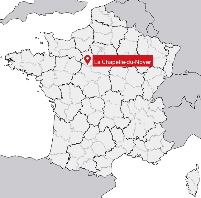
Carte de la Chapelle-du-Noyer
Coordonnées GPS de la Chapelle-du-Noyer : Latitude 48.042° N · Longitude 1.318° E
Informations sur La Chapelle-du-Noyer
Code INSEE : 28075 SOUNDEX : L214356 METAPHONE : LXPLTNYR
Communes aux alentours de la Chapelle-du-Noyer
Avis des habitants (0)
Aucun avis. Soyez le premier à laisser votre avis sur La Chapelle-du-Noyer.