Présentation de la Chapelle-du-Châtelard
Le village de la Chapelle-du-Châtelard
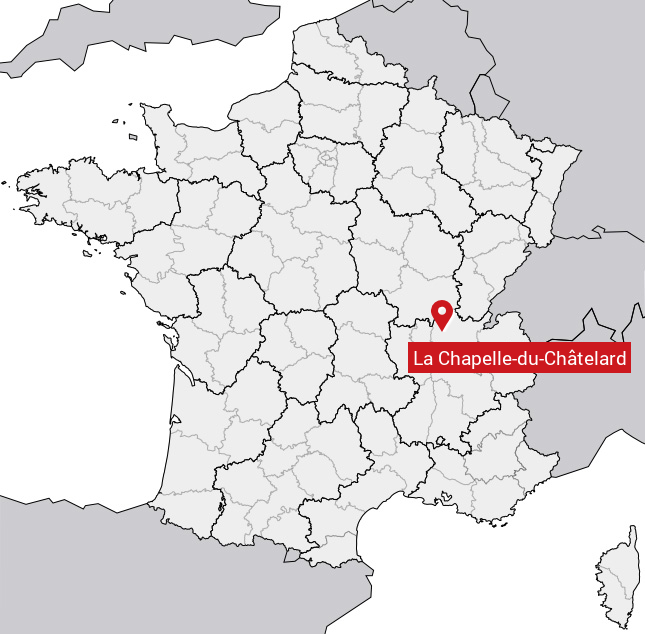
est situé dans le département
de l'Ain
(01),
en région
Auvergne-Rhône-Alpes, anciennement en Rhône-Alpes.
Il
appartient au canton de Châtillon-sur-Chalaronne, et fait parti de la Communauté de communes de la Dombes.
La Chapelle-du-Châtelard est une commune rurale hors agglomération. Il compte environ 394 habitants pour une superficie de 13.62 km². Son altitude varie entre 236 m et 285 m.
La commune s’inscrit dans un territoire rural à habitat dispersé, caractérisé par des habitations espacées. Sa densité de population est de 29.0 hab./km².
Le prix moyen de l'immobilier à Chapelle-du-Châtelard est de 2372 €/m2.
Code postal de la Chapelle-du-Châtelard : 01240
Évolution démographique
Localisation de la Chapelle-du-Châtelard en France
Département et région : (01) Ain, Rhône-Alpes (Auvergne-Rhône-Alpes)
Carte de la Chapelle-du-Châtelard
Coordonnées GPS de la Chapelle-du-Châtelard : Latitude 46.074° N · Longitude 5.022° E
Informations sur La Chapelle-du-Châtelard
Code INSEE : 01085 SOUNDEX : L214323463 METAPHONE : LXPLTXTLRT
Communes aux alentours de la Chapelle-du-Châtelard
Avis des habitants (0)
Aucun avis. Soyez le premier à laisser votre avis sur La Chapelle-du-Châtelard.