Présentation de la Chapelle-du-Bourgay
Le petit village de la Chapelle-du-Bourgay
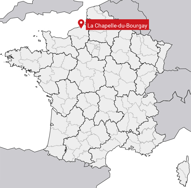
est situé dans le département
de la Seine-Maritime
(76),
en région
Normandie, anciennement en Haute Normandie.
Il
appartient au canton de Luneray, et fait parti de la Communauté de communes Terroir de Caux.
La Chapelle-du-Bourgay est une commune rurale hors agglomération. Il compte environ 110 habitants pour une superficie de 3.04 km². Son altitude varie entre 67 m et 143 m.
La commune s’inscrit dans un territoire rural à habitat dispersé, caractérisé par des habitations espacées. Sa densité de population est de 36.0 hab./km².
Les habitants de la Chapelle-du-Bourgay se nomment les Capelais.
Code postal de la Chapelle-du-Bourgay : 76590
Évolution démographique
Localisation de la Chapelle-du-Bourgay en France
Département et région : (76) Seine-Maritime, Haute Normandie (Normandie)
Carte de la Chapelle-du-Bourgay
Coordonnées GPS de la Chapelle-du-Bourgay : Latitude 49.822° N · Longitude 1.146° E
Informations sur La Chapelle-du-Bourgay
Code INSEE : 76170 SOUNDEX : L2143162 METAPHONE : LXPLTBRK
Communes aux alentours de la Chapelle-du-Bourgay
Avis des habitants (0)
Aucun avis. Soyez le premier à laisser votre avis sur La Chapelle-du-Bourgay.