Présentation de la Chapelle-devant-Bruyères
Le village de la Chapelle-devant-Bruyères
est situé dans le département
des Vosges
(88),
en région
Grand Est, anciennement en Lorraine.
Il
appartient au canton de Gérardmer, et fait parti de la Communauté d'agglomération de Saint-Dié-des-Vosges.
La Chapelle-devant-Bruyères est une commune rurale hors agglomération. Il compte environ 549 habitants pour une superficie de 20.43 km². Son altitude varie entre 447 m et 768 m.
La commune s’inscrit dans un territoire rural à habitat dispersé, caractérisé par des habitations espacées. Sa densité de population est de 27.0 hab./km².
Le prix moyen de l'immobilier à Chapelle-devant-Bruyères est de 1418 €/m2.
Les habitants de la Chapelle-devant-Bruyères se nomment les Chapellois(es)s.
Code postal de la Chapelle-devant-Bruyères : 88600
Évolution démographique
Localisation de la Chapelle-devant-Bruyères en France
Département et région : (88) Vosges, Lorraine (Grand Est)
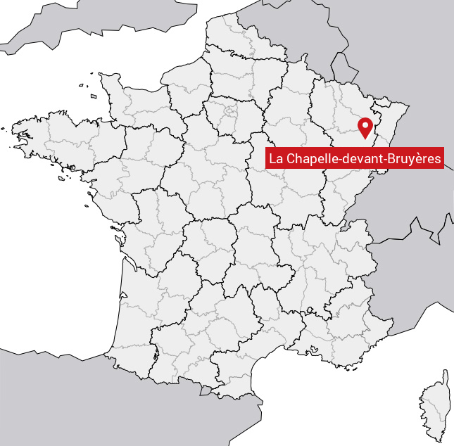
Carte de la Chapelle-devant-Bruyères
Coordonnées GPS de la Chapelle-devant-Bruyères : Latitude 48.179° N · Longitude 6.806° E
Informations sur La Chapelle-devant-Bruyères
Code INSEE : 88089 SOUNDEX : L2143153162 METAPHONE : LXPLTFNTBRYRS
Communes aux alentours de la Chapelle-devant-Bruyères
Avis des habitants (0)
Aucun avis. Soyez le premier à laisser votre avis sur La Chapelle-devant-Bruyères.