Présentation de la Chapelle-d'Angillon
Le village de la Chapelle-d'Angillon
est situé dans le département
du Cher
(18),
en région
Centre-Val de Loire, anciennement en Centre.
Il
appartient au canton d' Aubigny-sur-Nère, et fait parti de la Communauté de communes Sauldre et Sologne.
La Chapelle-d'Angillon est une commune rurale hors agglomération. Il compte environ 611 habitants pour une superficie de 10.28 km². Son altitude varie entre 183 m et 283 m.
La commune s’inscrit dans un territoire rural à habitat dispersé, caractérisé par des habitations espacées. Sa densité de population est de 59.0 hab./km².
Le prix moyen de l'immobilier à Chapelle-d'Angillon est de 730 €/m2.
Code postal de la Chapelle-d'Angillon : 18380
Évolution démographique
Localisation de la Chapelle-d'Angillon en France
Département et région : (18) Cher, Centre (Centre-Val de Loire)
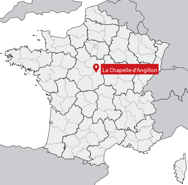
Carte de la Chapelle-d'Angillon
Coordonnées GPS de la Chapelle-d'Angillon : Latitude 47.371° N · Longitude 2.44° E
Informations sur La Chapelle-d'Angillon
Code INSEE : 18047 SOUNDEX : L21435245 METAPHONE : LXPLTNJLN
Communes aux alentours de la Chapelle-d'Angillon
Avis des habitants (0)
Aucun avis. Soyez le premier à laisser votre avis sur La Chapelle-d'Angillon.